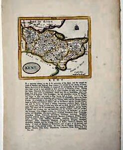
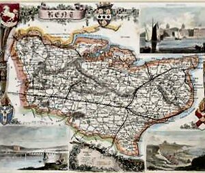
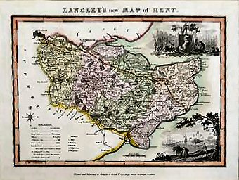
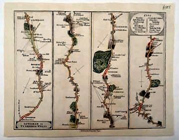
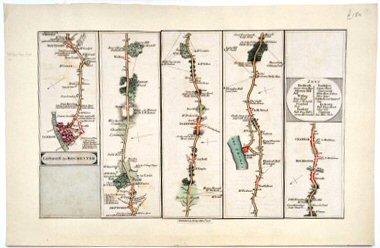
Maps “LETTS’S CYCLING MAP OF FIFTY MILES ROUND LONDON.” has been added to your basket. View basket ARCHER, JOHN.. Kent.. c.1857. See full details Add to basket An excellent example particularly well coloured. £50.00 HALL, SIDNEY.. Kent.. 1830 See full details Add to basket Traces of old folds. With fine colouring,… £75.00 [COLE, GEORGE AND JOHN ROPER].. Kent.. 1838 See full details Add to basket Traces of original fold. A fine example. £40.00 MORDEN, ROBERT.. Kent.. 1708 See full details Add to basket A fine example with good margins. £125.00 SELLER, JOHN.. Kent.. 1787 See full details Add to basket A very good example. £65.00 FULLARTON, A.. Kent.. 1843 See full details Add to basket Trace of old fold. Good impression with… £50.00 VAN DEN KEERE, PIETER.. Kent.. 1646 See full details Add to basket An attractive example. £145.00 MOULE, THOMAS.. Kent.. c.1845. See full details Add to basket Attractively mounted in conservation materials. £125.00 LANGLEY, EDWARD. AND WILLIAM BELCH.. Langley’s New Map Of Kent.. c.1817. See full details Add to basket A fine example, in very good condition. £150.00 LETTS, SON & CO.. Letts’s Cycling Map Of Fifty Miles Round London. 1887 See full details Add to basket Preserved within the original cloth-covered boards with… £200.00 CARY, JOHN.. Lewisham To Tunbridge Wells.. 1790 See full details Add to basket Hand coloured road map in four strips… £125.00 CARY, JOHN.. London To Rochester.. 1790 See full details Add to basket Hand coloured road map in six strips… £150.00 ← 1 2 3 4 5 6 7 8 9 … 14 15 16 →