Thorpe And Co.’s Maps Of Folkestone And Neighbourhood..
Map folded into printed card wrappers with title in sepia and blue, advertisement at end of text and on rear wrapper. A little foxing along folds of map and on wrappers but otherwise a very good clean copy.
£65.00
Publisher
Printed and Published by W. E. Thorpe and Co., 'Herald' Printing Works, Sandgate Rd.,
Place
Folkestone
Date
[c.1893].
Synopsis
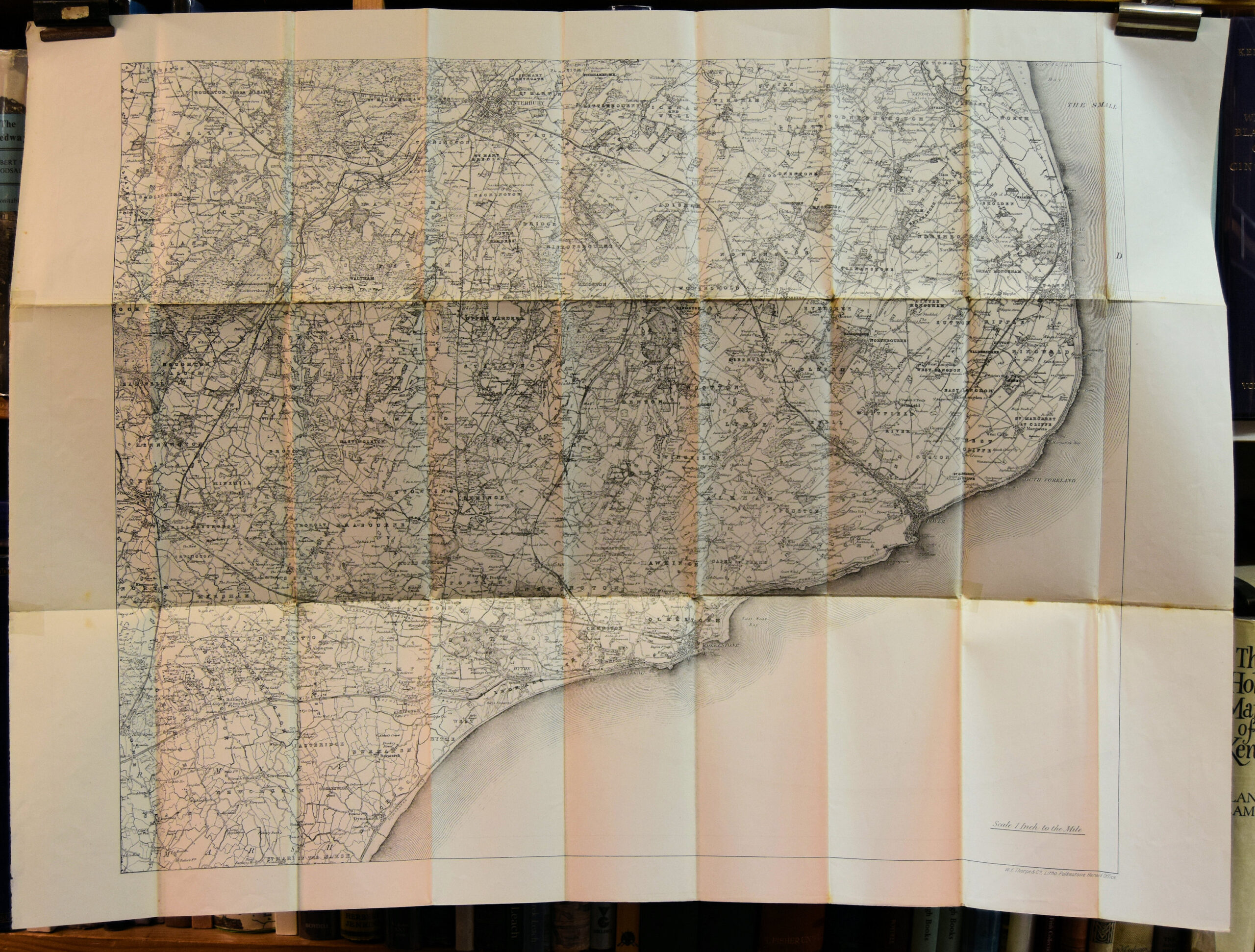
Facsimile of ordnance map one-inch to the mile.
messrs. thorpe and co's guide to places of interest in and around folkestone.
Item Description
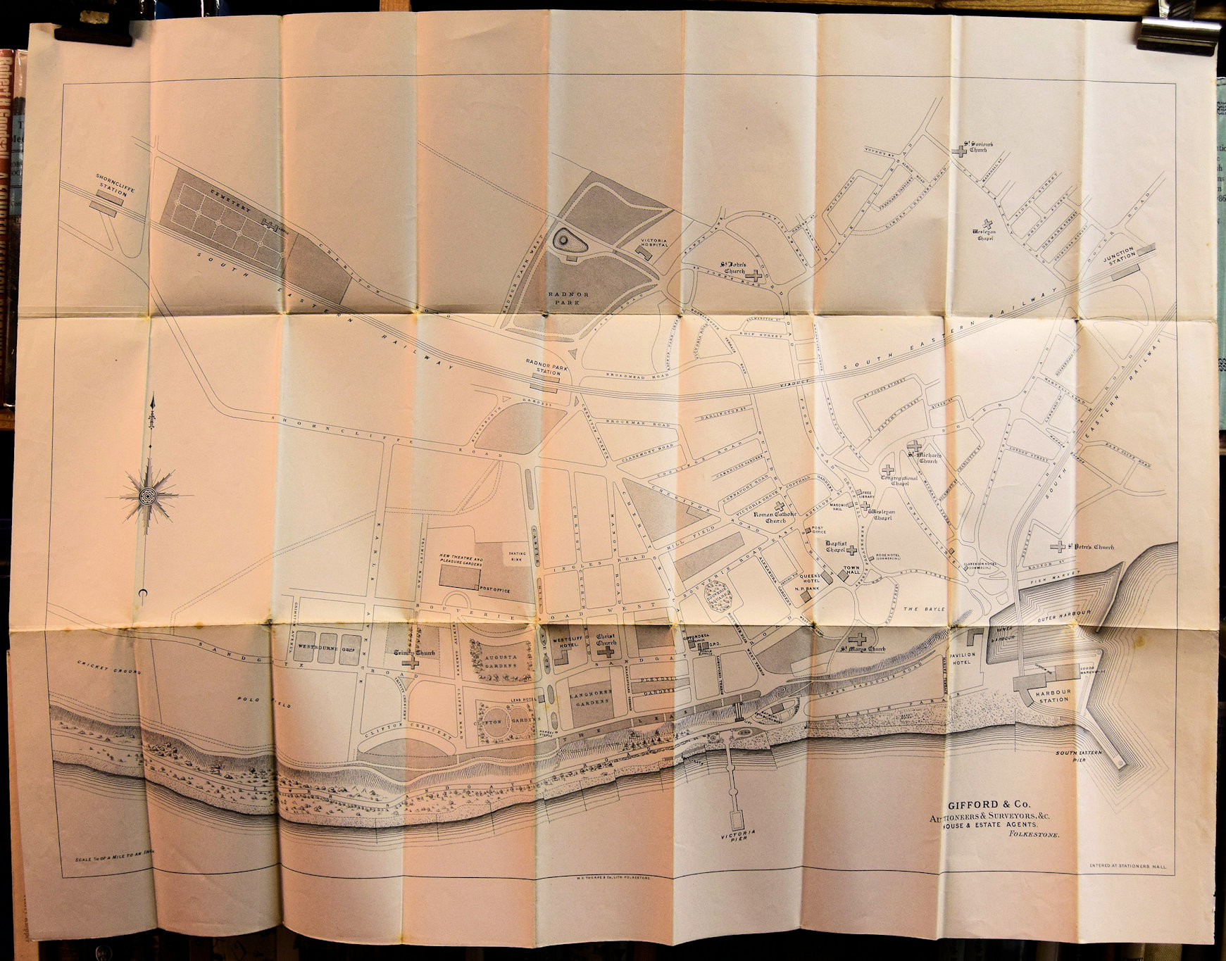
Folding paper map with Folkestone plan on recto and map of part of south east Kent on recto, 29.75 x 22 inches, in wrappers, 3.75 x 7.5 inches, 7 pp.
Notes
Scarce 1890's plan of Folkestone. It is undated but must be 1893 or soon after as it shows the Marine Gardens Bandstand opened in that year. 'Those who care for a walk or drive,' in the text, refers of course to 'a trap or a saddle-horse,' and the reader's attention is drawn to the advertisement for J. Pankhurst, Fly and Omnibus Proprietor, Job Master and Livery Stable Keeper, at the 'Queen's Mews.'
[Stock No. 23339]

Subjects
19th Century • East Kent • Folding Maps • Folkestone • Kent