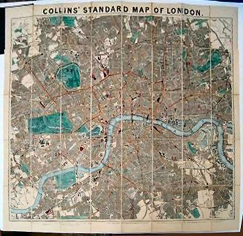
Collins’ Standard Map Of London With Illustrated Guide And Nearly 4000 Street References..
Slight wear to external hinges and guide stitching a little loose otherwise a fine example with vibrant hand-colour.
£350.00
Publisher
Edward Stanford, 26 & 27, Cockspur Street, Charing Cross, S.W.,
Place
London.
Date
1892
Item Description
Large, hand-coloured folding map, dissected and laid on to linen, 35 x 32 inches, with 48 pp. illustrated guide pasted in. Preserved in the original blue-black, cloth-covered boards with printed title label to upper board and table of Public Conveyances to map end fold.
[Stock No. 21470]