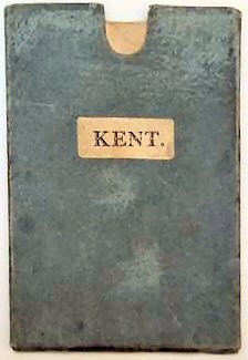
A New Map Of The County Of Kent..
A very good example of a coloured map with fine wide margins.
£250.00
Publisher
Printed for C. S. Smith No 172 Strand January 6th,
Date
1804
Synopsis
Divided into lathes etc.
Item Description
Second edition, corrected to 1808. Original hand-coloured engraved map 17 x 20 inches, dissected and laid on to linen and preserved in a slip case.
Notes
Nice example of this turn-of-the-century Kentish map from Smith's 'New English Atlas'. The maps were drawn by J. Tomkins and engraved by H. Vincent.
[Stock No. 20467]