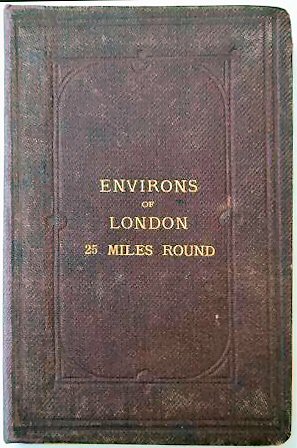
A Map Of The Environs Of London Extending 25 Miles From The Metropolis..
Preserved in the original embossed purple cloth-covered boards with gilt tile to upper board. Professionally rebacked with a paper title label to spine. Ownership stamp to pastedown leaf and printed fold end. Two places in lining slightly frayed and one slightly stained, otherwise a very good copy.
£300.00
Publisher
Edward Stanford, 55, Charing Cross, S.W.,
Place
London.
Date
No date but after 1873 and before 1886..
Item Description
Large hand-coloured folding map, 36 x 36 inches, dissected and laid on to linen with printed card to exposed fold. Area covered extends from Ivinghoe (Bucks.) and Guildford in the west, to Waltham (Essex) and Paddock Wood in the east.
Notes
Stanford's has a long history of map making and selling, and Stanford maps were detailed and highly accurate.
[Stock No. 21418]